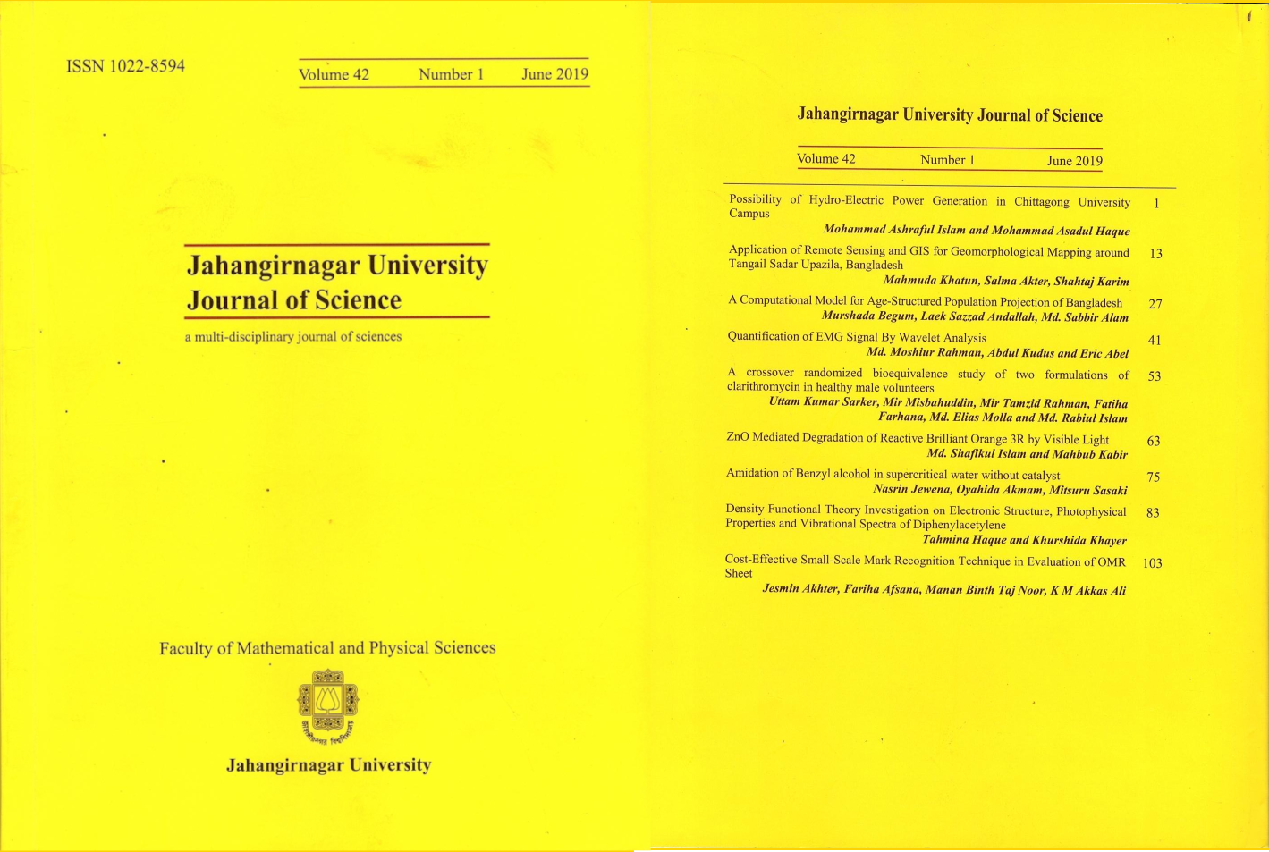
Application of Remote Sensing and GIS for Geomorphological Mapping around Tangail Sadar Upazila, Bangladesh
Keywords:
Geomorphology, ,Aerial photograph, Remote Sensing, GIS, Tangail.Abstract
Geomorphological mapping is the base of land use planning and fundamental technique of geomorphological practice. In this paper, for generating a proper geomorphological map, aerial photographs (1:50,000 in 1954) have been used to get previous detail information and Google Image of 2012 to get recent information. So, ancient aerial photographs are used here for proper land feature and probable hazard assessment. Old topographic maps and borehole data have also been used to support and improve the interpretation. The Landsat ETM+ imagery was also used in this study. Geometrically corrected imagery was obtained from USGS and later was adjusted in the field using GPS. The widespread distribution and extended graphical capabilities of GIS-software as well as the availability of high resolution remote sensing data such as aerial and satellite imagery are mainly used in interpreting the geomorphological characteristics of the Tangail Sadar area. Geomorphic units are interpreted on the basis of interpretation element keys as -tone, texture, size, shape, color etc. and extract the specific information from panchromatic aerial photo images. These units are classified on the basis of differential erosion processes and their texture, tone and association. Geomorphic unit’s flood plain, natural levee, point bar, lateral bar, ox-bow lake, Backswamp, abundant channel and active channel are mapped using aerial photo satellite imagery using visual interpretation technique along with field check. Therefore, the research work will certainly provide some valuable clues to solve the hazard prone areas to save properties, infrastructure and will help future engineers and city planners to build up engineering structures safely and economically.
Published
How to Cite
Issue
Section
License
©2024 Jahangirnagar University Journal of Science. All rights reserved. However, permission is granted to quote from any article of the journal, to photocopy any part or full of an article for education and/or research purpose to individuals, institutions, and libraries with an appropriate citation in the reference and/or customary acknowledgement of the journal.


